Geographic Information System (GIS)
Revit Guides
Data Management
A geographic information system (GIS) is a framework for gathering, managing, and analyzing data. Rooted in the science of geography, GIS integrates many types of data. It analyzes spatial location and organizes layers of information into visualizations using maps and 3D scenes. With this unique capability, GIS reveals deeper insights into data, such as patterns, relationships, and situations—helping users make smarter decisions.
https://www.esri.com/en-us/what-is-gis/overview
information exchange
verb act of satisfying an information requirement (3.3.2) or part thereof [cited from
2021-01-02
No Comments
2023-02-05
No Comments

How To
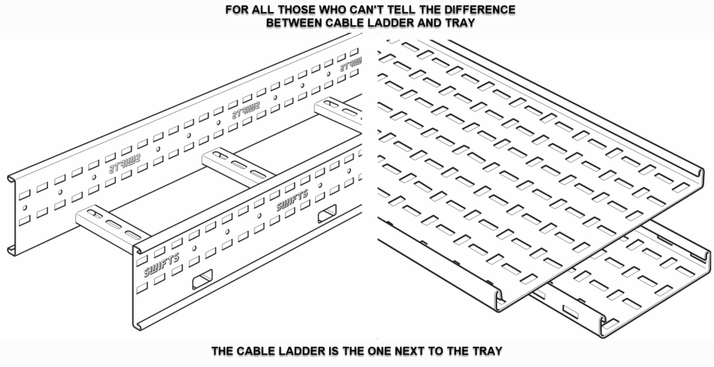
Cable Ladder vs Perforated Cable Tray Selection Guide
Cable Ladder vs Perforated Cable Tray – Selection Guide (UK,
2025-08-24
No Comments

